Negros Occidental Eco-Tourism Highway
.svg) | ||||
|---|---|---|---|---|
| Bacolod–San Carlos Road Bacolod–Murcia–Don Salvador Benedicto–San Carlos Road | ||||
 Bacolod–Murcia–Don Salvador Benedicto–San Carlos Road in Murcia | ||||
| Route information | ||||
| Maintained by the Department of Public Works and Highways | ||||
| Length | 81.12 km (50.41 mi) | |||
| Component highways | ||||
| Major junctions | ||||
| East end | ||||
| ||||
| West end | ||||
| Location | ||||
| Country | Philippines | |||
| Provinces | Negros Occidental | |||
| Major cities | Bacolod, San Carlos | |||
| Towns | Don Salvador Benedicto, Murcia | |||
| Highway system | ||||
| ||||
| ||||
The Negros Occidental Eco-Tourism Highway, officially known as the Bacolod–San Carlos Road and Bacolod–Murcia–Don Salvador Benedicto–San Carlos Road, is an 81.12-kilometer (50.41 mi) scenic highway that connects the city of Bacolod[1] to the city of San Carlos in Negros Occidental, Philippines.[2] It cuts through the north-central Negros Island and traverses the Northern Negros Natural Park, north of Mount Kanlaon. Its western segment in Bacolod also known as Alijis Road (Romeo G. Guanzon Avenue)[3] has a two-way bicycle lane.
.jpg)
The entire highway is designated as National Route 69 (N69) of the Philippine highway network.
Route description
[edit]Bacolod
[edit]The road starts in an intersection with the Bacolod South Road beside the Bacolod–Silay Airport. The road has a 9.6 kilometres (6.0 miles) stretch in Bacolod which is named the Bacolod-San Carlos segment. Shortly after the highway starts, the road intersects with the Bacolod Circumferential Road. The highway trails southeast before intersecting with the Bacolod Economic Highway, ending shortly after.
Negros Occidental
[edit]The road enters Murcia, Negros Occidental at the Department of Public Works and Highways 3rd district in the province with a 21.7 km (13.5 mi) stretch. The road tracks more southeast, intersecting with the Murcia-Cansilayan-Damsite-Abuanan-Bago City Road. The road then trails east, before going north.
History
[edit]The highway originated from an old road connecting Bacolod to the foot of Mount Kanlaon in Murcia that is also historically part of Highway 336. It was later extended to San Carlos sometime after World War II.[4]
Intersections
[edit]The entire route is located in Negros Occidental. Intersections are numbered by kilometer post, with Negros Occidental Provincial Capitol in Bacolod designated as kilometer zero.
| City/Municipality | km | mi | Destinations | Notes | |
|---|---|---|---|---|---|
| Bacolod | 4 | 2.5 | Western terminus | ||
| 6 | 3.7 | ||||
| Don Salvador Benedicto | 53 | 33 | |||
| San Carlos | 87 | 54 | Eastern terminus | ||
| 1.000 mi = 1.609 km; 1.000 km = 0.621 mi | |||||
References
[edit]- ^ "Bacolod City". Department of Public Works and Highways. Retrieved November 21, 2018.
- ^ "Negros Occidental 1st". Department of Public Works and Highways. Retrieved November 21, 2018.
- ^ Republic Act No. 9464 (May 15, 2007), AN ACT RENAMING THE BACOLOD - MURCIA - SAN CARLOS ROAD (BACOLOD SECTION) IN THE CITY OF BACOLOD TO ROMEO G. GUANZON AVENUE, LawPhil.net
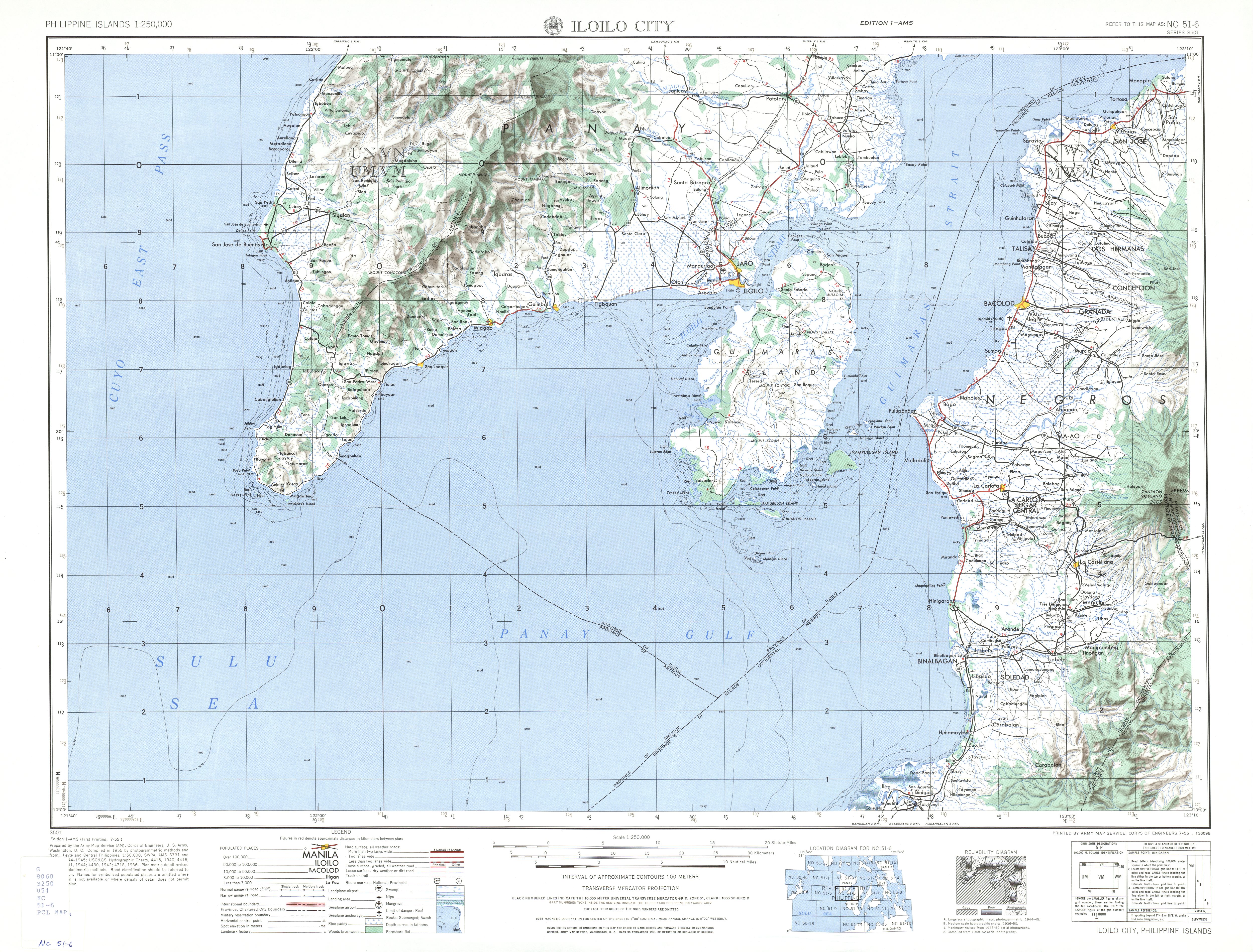
- ^ NC 51-6 Iloilo City (Map). 1:250,000. S501. Washington D.C.: Army Map Service, Corps of Engineers. 1954. Retrieved June 1, 2023.
This Philippine road or road transport-related article is a stub. You can help Wikipedia by expanding it. |