Imneizil
Imneizil
إمنيزل | |
|---|---|
Village | |
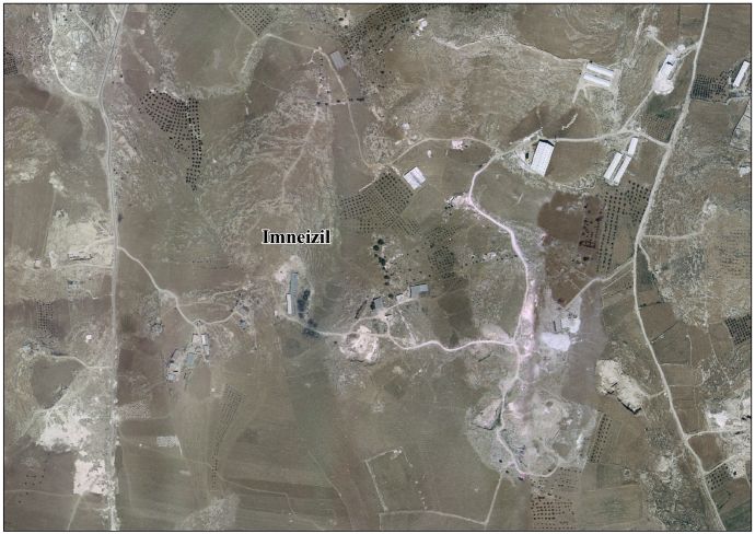
 Imneizil Location of Imneizil within Palestine | |
| Coordinates: 31°22′17″N 35°06′23″E / 31.37139°N 35.10639°E | |
| State | Palestine |
| Governorate | Hebron Governorate |
| Government | |
| • Type | Village council |
| Elevation | 700 m (2,300 ft) |
| Population (2017) | |
• Total | 278 |
Imneizil (Arabic: إمنيزل) is a small Palestinian village in the Hebron Governorate of the southern West Bank, located about 17 kilometres southwest of Hebron and east of Yatta.[1] The village stands at an elevation of roughly 700 metres above sea level. According to the 2017 census conducted by the PCBS, it had a population of 278.
Geography
[edit]
Imneizil lies in the South Hebron Hills, a semi-arid region of scattered hamlets and agricultural land.[2] The terrain is characterized by rocky hills and seasonal grazing areas, similar to the surrounding cluster of villages known collectively as Masafer Yatta.
Although Imneizil itself is not formally included within the boundaries of Firing Zone 918 declared by Israel in the 1970s, it is situated in the same geographical zone, and residents experience many of the restrictions on planning, movement, and access to resources that affect neighbouring hamlets.[2]
History
[edit]In the 1870s, Survey of Western Palestine recorded Khurbet el Menâzil as having “caves, cisterns, foundations, and heaps of stones.”[3]
Demographics
[edit]As of the 2017 PCBS census, Imneizil had 278 residents.[1] By comparison, the larger grouping of villages in Masafer Yatta—which includes 19 hamlets east of Yatta—recorded 768 residents in the 2007 census.[2] In 2022, approximately 1,144 residents of Masafer Yatta were subject to expulsion orders following Israeli High Court rulings related to the firing zone designation, about half of them children.[2]
Administration
[edit]Imneizil, like other small villages in the Hebron Governorate, falls under the jurisdiction of the Palestinian National Authority. Local governance is typically carried out through a village council appointed by the Ministry of Local Government, a model shared with the nearby Masafer Yatta communities.[2]
Challenges
[edit]Residents of Imneizil face socio-economic and spatial challenges similar to those of neighbouring South Hebron Hills villages. These include:
- Restrictions on construction and infrastructure due to Israeli zoning policies.
- Limited access to paved roads, electricity, and water networks.
- Economic pressures from agricultural constraints and limited development opportunities.[2]
The broader context of Masafer Yatta has drawn international attention as an emblematic case of Palestinian communities living under threat of displacement. The 2024 Oscar-winning documentary No Other Land depicted life in Masafer Yatta under these conditions, highlighting themes relevant to the wider region.[4] While Imneizil was not the specific focus of the film, it shares the socio-political environment described there.

See also
[edit]References
[edit]- ^ a b "Preliminary Results of the Population, Housing and Establishments Census, 2017" (PDF). Palestinian Central Bureau of Statistics (PCBS). 2018. Retrieved 23 August 2025.
- ^ a b c d e f "Masafer Yatta". Wikipedia. Retrieved 23 August 2025.
- ^ Conder and Kitchener, Survey of Western Palestine, Vol. III: Judaea, p. 409
- ^ "Oscar-winning documentary No Other Land shines light on Masafer Yatta". Al Jazeera. 11 March 2024. Retrieved 23 August 2025.
External links
[edit]- Survey of Western Palestine, Map 25: IAA, Wikimedia commons
- Imneizil Village (Fact Sheet), ARIJ
- Imneizil Village Profile, ARIJ
- Imneizil areal photo, ARIJ
- The priorities and needs for development in Imneizil village based on the community and local authorities’ assessment, ARIJ
| Villages and hamlets |  | |
|---|---|---|
| Incorporated villages | ||
| Related topics | ||