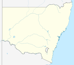
Coonamble Airport
Coonamble Airport | |||||||||||||||
|---|---|---|---|---|---|---|---|---|---|---|---|---|---|---|---|
| Summary | |||||||||||||||
| Airport type | Public | ||||||||||||||
| Operator | Coonamble Shire Council | ||||||||||||||
| Location | Coonamble, New South Wales | ||||||||||||||
| Elevation AMSL | 604 ft / 184 m | ||||||||||||||
| Coordinates | 30°59′00″S 148°22′30″E / 30.98333°S 148.37500°E | ||||||||||||||
| Map | |||||||||||||||
| Runways | |||||||||||||||
| |||||||||||||||
| Sources: AIP[1] | |||||||||||||||
Coonamble Airport (IATA: CNB, ICAO: YCNM) is an airport located 2 nautical miles (3.7 km; 2.3 mi) south[1] of Coonamble, New South Wales, Australia. The airport is 3 km (1.9 mi) from the Coonamble post office.[2]
Airlines and destinations
[edit]There is no regular passenger transport to Coonamble Airport. Prior to 2008 there was an Air Link Airlines link to Dubbo.[3]
See also
[edit]References
[edit]- ^ a b YCNM – Coonamble (PDF). AIP En Route Supplement from Airservices Australia, effective 4 September 2025
- ^ How To Get Here
- ^ "Air Link". Archived from the original on 15 November 2016. Retrieved 12 August 2016.
