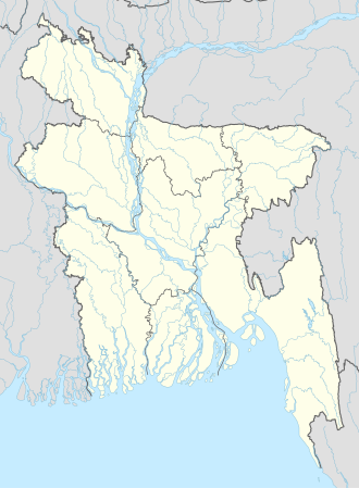
Bauphal
Bauphal | |
|---|---|
| Coordinates: 22°25′09″N 90°33′23″E / 22.419253°N 90.556514°E | |
| Country | |
| Division | Barisal Division |
| District | Patuakhali District |
| Upazila | Bauphal Upazila |
| Municipal town | 2001 |
| Government | |
| • Type | Municipality |
| • Body | Bauphal Municipality |
| • Mayor | Md. Ziaul Haque |
| Area | |
• Total | 10.82 km2 (4.18 sq mi) |
| Population | |
• Total | 16,916 |
| • Density | 1,563/km2 (4,049/sq mi) |
| Time zone | UTC+6 (BST) |
Bauphal is a town in Patuakhali District under Barisal Division of Bangladesh. It is the headquarters of Bauphal Upazila. It is the fourth largest town of Patuakhali District and the largest as well as the main urban center of Bauphal Upazila. The nearest international and domestic airports to the town are Hazrat Shahjalal International Airport and Patuakhali Airport respectively. The town is located 58.8 km from the divisional city Barisal[1] and 37.6 km from the district headquarters Patuakhali.[2]
Demographics
[edit]The total population of Bauphal town is 16,916 of which 8,322 are male and 8,594 are female. The male to female ratio is 97:100. The town has 3,705 households in total.[3]
Geography
[edit]The geographical coordinates of Bauphal town are 22°25′09″N 90°33′23″E / 22.419253°N 90.556514°E. Its average elevation above sea level is 6.62 meters.[4]
Administration
[edit]In 2001, to provide civic services and other facilities to the residents of Bauphal, a local government body named Bauphal Municipality was formed. It is divided into 9 wards and 10 mahallas. Out of the total 10.82 square kilometers of Bauphal town, 7.96 sq km are under the jurisdiction of Bauphal Municipality.[5]
Education
[edit]The literacy rate of Bauphal town is 69.8 percent.
References
[edit]- ^ "Distance from Barisal to Bauphal". Retrieved 2019-01-06.
- ^ "Distance from Patuakhali to Bauphal". Retrieved 2019-01-06.
- ^ "Urban Centers in Bangladesh". Population & Housing Census-2011 [Population and Housing Census-2011] (PDF) (Report). National Report. Vol. 5: Urban Area Report, 2011. Bangladesh Bureau of Statistics. March 2014. p. 176. Archived from the original (PDF) on 2019-04-11. Retrieved 2019-01-07.
- ^ "latitude, longitude and coordinates for Bauphal, Bangladesh". distancesto.com. Retrieved 2019-01-06.
- ^ "At a glance Municipality". Archived from the original on 2019-01-04. Retrieved 2019-01-06.
